
EUDR Compliance.
Reliable and high quality.
Benefit from our fully automated Deforestation Check.
Discover how our API solution enrichs your platform.
Discover more.
Learn about our EUDR Check API.
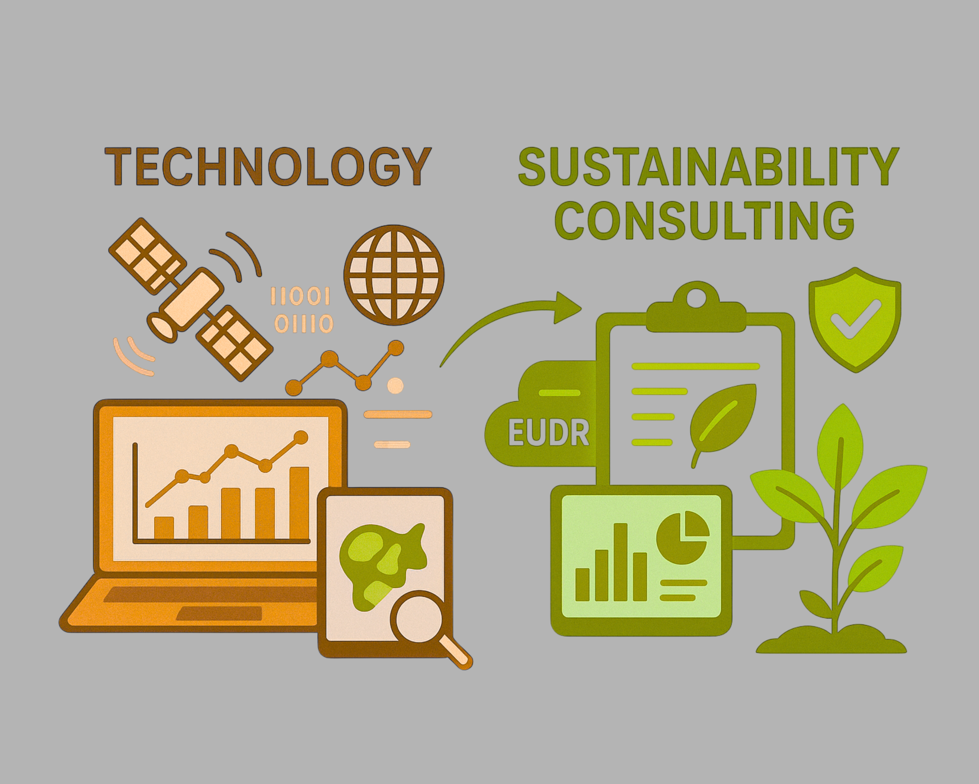
Our EUDR (EU Deforestation Regulation) Check is a deforestation risk assessment tool covering single plots as well as regions. With our easy-to-integrate API solution, we are the ideal partner if you are looking to enhance your sustainability platform! It provides essential support to fulfil the EUDR deforestation free requirement for all affected commodities based on long-term satellite time series and internationally renowned quality datasets.

Our Solution
- EUDR deforestation risk assessment
- Supporting collection of polygon and point location
- High quality and reliable
- Transparent and auditable methodology
- API – Easy to integrate into traceability or other IT systems

The Industries
- Certification & Compliance, eg Sustainability Platforms
- Service Developers
- Food & Non-food Processors

Use Cases
- EUDR compliance
- Plot Mapping
- Deforestation risk assessment (non EUDR): Green Claims, Scope 3, …
Geocledian’s risk assessment tool EUDR Check is a comprehensive monitoring system that combines advanced satellite technology and data-driven analytics to address the requirements of EUDR compliance. With EUDR Check you get an easy-to-integrate API solution for handling geospatial data and defining a workflow for deforestation assessment.
EUDR Check was designed to provide beyond state-of-the-art deforestation checks. For the purpose of EUDR it is superior to many existing methods such as provided by Global Forest Watch or similar.
Discover more on the following tabs.

In order to validate fields as deforestation-free, reliable mapping is required as a first step. Geocledian provides a mobile app for data collection and results validation: High quality data collection avoiding common location and geometry errors including data upload into the cloud. An enhanced version can be used to collect evidence in case of a deforestation alarm.

The EUDR Check service provides comprehensive validation checks to ensure compliance with the geolocation requirements of the EUDR. These are carried out for the individual geolocation object and the collection (batch) of geolocations forming the shipment. The validation covers location, quality of technical data, plausibility check and overlap checks.

Detailed risk assessment specific to individual plot of lands, ensuring targeted compliance assessments and the EUDR requirements:
- Deforestation free assessment (Article 3a) – auditable & transparent: no risk – or – non negligible risk
- For oil palm, soya, rubber, coffee, cocoa, beef, leather, wood
- Check 31.12.2020 against exact harvest date (satellite time series)
- Low rates of false deforestation alarms
- EUDR Check Test Protocol: Once the analysis is done, users receive detailed outputs in various formats such as PDF and GeoJSON, including visual maps and statistical summaries, to aid in reporting, decision-making and auditing.

Deforestation risk assessment on regional level according to § 10 of the EUDR:
- Determine regional deforestation risk: low – mid – high
- Assess risk of mixing and circumvention


News & Blog
Stay tuned.

Insights from the EUDR webinar with VERSO
At the end of October, we took part in a well-attended webinar hosted by VERSO entitled ‘EUDR-Roadmap für Importeure: Sicher handeln trotz Ungewissheit’. More than 130 participants learned about the current status of the EUDR and gained valuable insights.

VERSO and Geocledian form partnership
We’re thrilled to announce that Geocledian and VERSO have partnered to help companies achieve EUDR compliance in an automated, efficient and legally compliant way. And we are kicking off this valuable partnership with a joint webinar (in German).
PwC and Geocledian are partnering up!
We are excited to announce that Geocledian and PwC Germany are collaborating on PwC’s value chain compliance suite, ‘Check Your Value Chain’! We will kick off our collaboration with a joint webcast (in German) organised by PwC on Thursday, 25 September 2025. Save the date and register now!
FAQs
We are using various datasets to conduct the EUDR risk analysis, e.g. Sentinel-1 SAR, Sentinel-2 and other open datasets. The datasets are augmented and improved by methods developed by Geocledian. Final results are verified and validated by samples. Please contact us for further details – we are happy to share a methodology description and the complete list of datasets to our customers to be fully transparent.
The methodology used is described in detail in our whitepaper “Ensuring EU Deforestation Regulation Compliance: EUDR Check”. This whitepaper is intended for sustainability managers, reporting and traceability platform providers, expert users, and auditors who seek to ensure compliance with the EUDR. Download the whitepaper.
Geolocations are mandatory for EUDR. These need to be submitted in GeoJSON format to the EU, hence the providers shall be able to submit them also. GeoJSON (https://de.wikipedia.org/wiki/GeoJSON) is supported by many geographic tools or GIS system.
Features supported are: Points (required for areas up to 4 ha) or Polygons. In case of cut-outs in polygons Multipolygons may be used.
It is sufficient to supply plain GeoJSON without attributes, however EU recommends to use and fill the following properties:
- Property:
- „ProducerName” and „ProducerCountry”.
- Optional property:
- „ProductionPlace“ – the name of the location,
- „Area“ for points, if omitted it will be set to 4ha by the EU
For checking the formating of GeoJSON you may use geojsonlint.
For more information on the GeoJSON format recommended by the EU you may find here.
Please refer to our product documentation pages which you can find here.
The quality of deforestation assessment is essential. For this reason we are using only scientifically validated dataset from renown sources. Our methodology is well described and transparent, no black box applies. Our results are continuously monitored and validated to minimize false positives (false deforestation alerts) and false negatives (unrecognized deforestation).
Our very competitive pricing model is generally based on per hectare charges, but other pricing models can also be discussed.

Get in touch.
We’re here to help.
Feel free to reach out to us if you have any further
questions or inquiries.