Go beyond.
Gain agricultural insights.
Optimize your agricultural processes, supply chains and IT systems with custom-fit data analytics or ready-to-use solutions. Reliably improve transparency and make your decisions more consciously based on satellite monitoring and models.
News.
Dive in.
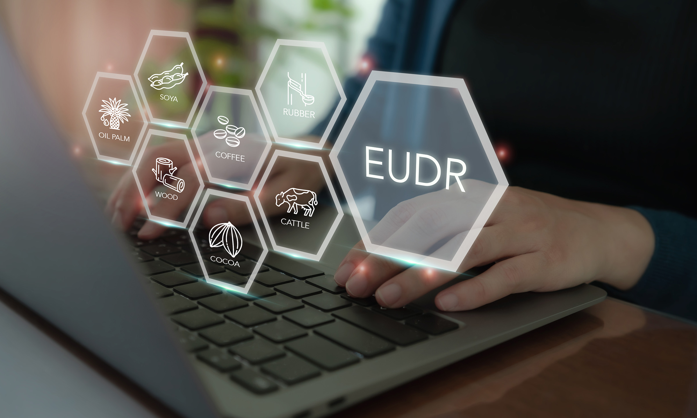
The countdown to EUDR implementation is running. Most discussions focus on internal processes, supplier engagement, and reporting obligations. But many EUDR projects encounter difficulties much earlier. In our experience, successful EUDR implementation depends on three foundations: geolocation quality, deforestation assessment, and auditability.
At Geocledian, we are thrilled to announce a major milestone in our journey: a strategic partnership with MyEasyFarm, a leading regenerative AgTech startup and recently B Corp™ certified, to advance Carbon Farming across Europe.

What intense and productive last weeks for the Geocledian team! Our CEO, Stefan Scherer, recently wrapped up two major stops on the European sustainability circuit: the European Carbon Farming Summit in Padua and the ChangeNOW summit in Paris.
Solving agricultural challenges.
Custom-fit and reliable.
Agriculture is facing major challenges globally. A need for more sustainability, transparency and efficiency in a transforming world are all linked to this. Agricultural activities and processes in supply chains need to be improved, or in some cases rethought.
By anticipating and exploiting the trend towards integrating satellite data based insights into IT systems at an early stage, Geocledian provides agriculture decision makers with tailored and far-sighted solutions through its EO-based data analytics. Solutions that add value and help improve our customers’ transparency across numerous industry segments.

Actionable insights.
Generate value.
Geocledian compiles ready-to-use solutions for numerous use cases based on satellite monitoring of agricultural land: EUDR Compliance, Field Monitoring, Precision Farming, Sustainability Reporting and more.

Operational insights.
Improve your transparency.
Geocledian provides ready-to-use agriculture solutions for numerous industry segments. Refine concepts and strategies, make better use of your data based on satellite-driven analytics and improve your transparency.
Customer insights.
Appreciative.
“During our many years of co-operation it has been a pleasure to work with the innovative and supporting Geocledian team on projects like our annual agricultural field monitoring, GIS and Remote Sensing Trainings as well as R&D projects on agricultural applications of satellite data.”
“Wir kommen wirklich gut zurecht und ich bin sehr begeistert von der API! Die API mit Dokumentation ist sehr angenehm anzuwenden und die Produkte sind genau das, was wir uns vorgestellt haben, mit so einer Vielzahl an Produkten, wie wir sie gar nicht ausschöpfen können und wo für alle Anwendungsfälle was dabei ist.”
“It is a pleasure to work with the competent and innovative Geocledian team on developing IT solutions to support sustainable cotton production. The tools provided enable us to achieve greater transparency with regard to protected areas and deforestation and contribute to the implementation and verification of the standard.”
“The EUDR API from Geocledian, supported by years of expertise in satellite analysis, has enabled us to enhance our system and incorporate new services that address our customers’ needs.”

Deep insights.
Custom-fit crop monitoring solutions with AgKnowledge.
AgKnowledge is a unique and comprehensive crop monitoring platform as farming API service for ERP and ICT systems created by Geocledian. Obtain agricultural insights near real-time.

Insight-driven.
Reliable and passionate.
Based on our deep knowledge we support our customers reliably and proactively. We are happy to share our news and valuable insights with our customers and with the agricultural industry.